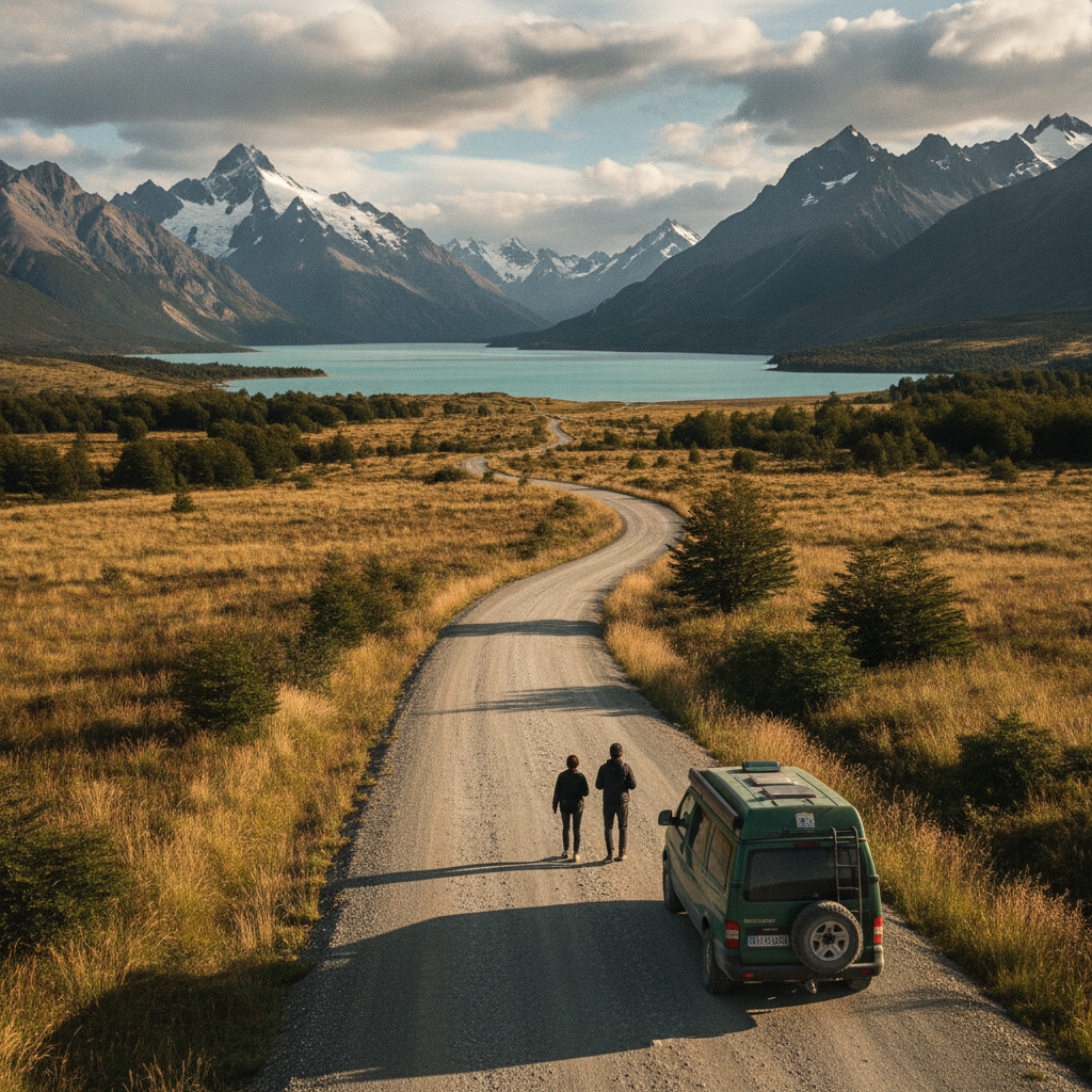
Few road trips on earth match the sheer drama of Patagonia in summer. Stretched across the southern reaches of Argentina and Chile, this region offers turquoise lakes, wind-sculpted peaks, and roads that seem to disappear into the horizon — all at their most accessible between November and March, when daylight stretches well past nine in the evening and the worst of the winter storms have cleared.
Choose Your Route Before You Book Anything
Patagonia is enormous, and the instinct to see everything in one trip tends to produce an exhausting blur. A smarter approach is to commit to either the Argentine or Chilean side as your primary corridor, then build in one or two cross-border crossings if time allows. The classic Argentine route follows Ruta 40 south from Bariloche through Perito Moreno to El Calafate and El Chaltén — a sweeping journey that takes at least two full weeks to do justice. The Chilean counterpart centers on the Carretera Austral, a rougher, more remote stretch that rewards those with a high-clearance vehicle and a flexible itinerary.
Factor In Border Crossing Logistics
Crossing between Argentina and Chile requires patience. Some crossings close seasonally, hours vary, and paperwork for rental vehicles often includes restrictions on international travel. Confirm vehicle permissions with your rental agency well in advance — this detail catches many travelers off guard. Apps like iOverlander are genuinely useful here, offering community-sourced notes on crossing wait times, road conditions, and campsite quality along the entire route.
Time Your Departure Around Peak Season Realities
December and January bring long days and the highest visitor numbers, particularly around Torres del Paine National Park and Los Glaciares. Trails fill up, campsites book out months ahead, and accommodation prices reflect the demand. Arriving in November or pushing into late February shifts the experience considerably — crowds thin, rates soften, and the landscape loses none of its grandeur. Late February also carries the advantage of autumn color beginning to touch the beech forests, which is quietly spectacular.
Book Torres del Paine Permits Early
Chile's CONAF agency manages park permits and campsite reservations through an online system that opens roughly five months before the season. The famous W Trek and full Circuit fill within hours of reservations going live. If a Torres del Paine circuit is on the itinerary, securing those bookings should happen before flights, before the vehicle rental, before almost anything else. Missing this window doesn't close the door entirely — day hikes and viewpoints remain accessible — but the multi-day backcountry experience requires early action.
Budget for the Road Itself, Not Just the Highlights
Fuel costs in Patagonia deserve serious attention. Stations are sparse along Ruta 40 and the Carretera Austral, and prices fluctuate significantly between towns. Carrying a spare fuel canister is standard practice, not just cautious behavior. Beyond fuel, gravel roads accelerate tire wear, and rental contracts often exclude tire damage — reading the fine print carefully before signing protects against a costly surprise midway through the trip. Apps like GasBuddy can help with price comparisons in urban areas before heading into the more remote stretches.
Build a Realistic Daily Budget
Patagonia sits at the higher end of South American travel costs, particularly on the Chilean side. Accommodation ranges from basic hostels and organized campsites to estancias offering full board and guided excursions. Cooking most meals using a camp stove or hostel kitchen cuts spending considerably and actually fits the rhythm of road travel well. Meat, produce, and wine from local markets in towns like Coyhaique or Puerto Natales are excellent and far more affordable than restaurant dining every night.
Pack for Wind, Rain, and Sudden Sun
Patagonian weather is genuinely unpredictable, and the summer season is no exception. A single afternoon can cycle through all four seasons, which sounds like a cliché until a horizontal sleet squall rolls in off the Southern Patagonian Ice Field during what was, twenty minutes ago, a perfectly sunny hike. Layering is non-negotiable: a moisture-wicking base, an insulating mid-layer, and a waterproof shell with a hood that cinches tight. Quality hiking boots with ankle support handle the mixed terrain far better than trail runners on longer routes.
Gear Apps That Actually Help on the Road
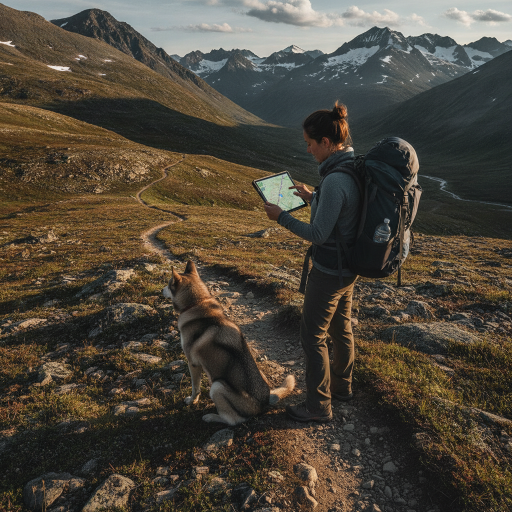
Offline maps are essential where cell coverage disappears entirely. Maps.me allows full map downloads for Argentina and Chile, including secondary roads that don't appear on standard navigation tools. Weather planning benefits from Windy, which visualizes wind patterns and precipitation in a way that's especially relevant given how dramatically gusts affect driving and hiking conditions in the region. Download both before leaving any major city.
Embrace the Unplanned Days Between the Big Stops
The temptation in Patagonia is to sprint between bucket-list landmarks — the Perito Moreno Glacier, the towers at sunrise, Fitz Roy at golden hour. Those experiences are worth every effort, but the quieter moments between them tend to leave the deepest impression. A detour down an unmarked track to a lake with no other cars in sight, an afternoon spent watching condors spiral above a canyon, a slow breakfast at a roadside parador where the owner brings out homemade dulce de leche without being asked — these aren't filler. They're the texture of the trip.
As infrastructure along the Carretera Austral continues to improve and more travelers seek alternatives to peak-season crowds, Patagonia's shoulder months are drawing increasing attention. November in particular is shaping up as the sweet spot for those who want reliable weather, manageable visitor numbers, and the full magic of the region without the logistical friction of high summer. The road through southern Patagonia has a way of rewarding those who arrive prepared and stay curious — and the planning process itself is a worthwhile first step into that world.